|
Vikidia currently has 4,624 articles. Improve it! |
|
Join Vikidia: create your account now and improve it! |
File:Uluru, helicopter view, cropped.jpg
Jump to navigation
Jump to search


Size of this preview: 800 × 524 pixels. Other resolutions: 320 × 210 pixels | 640 × 419 pixels | 1,024 × 671 pixels | 1,280 × 838 pixels | 2,876 × 1,884 pixels.
Original file (2,876 × 1,884 pixels, file size: 2.71 MB, MIME type: image/jpeg)
Summary
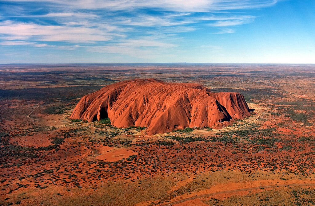
| Description | Uluru from Helicopter | ||
| Date | |||
| Source | cropped version ofImage:Uluru, helicopter view.jpg respectively Uluru/Ayers Rock | ||
| Author | Corey Leopold | ||
| Permission (Reusing this file) |
|
||
| Other versions |
 |
| Camera location | | View this and other nearby images on: OpenStreetMap |
|---|
Licensing
This file is licensed under the Creative Commons Attribution 2.0 Generic license.
- You are free:
- to share – to copy, distribute and transmit the work
- to remix – to adapt the work
- Under the following conditions:
- attribution – You must give appropriate credit, provide a link to the license, and indicate if changes were made. You may do so in any reasonable manner, but not in any way that suggests the licensor endorses you or your use.
File history
Click on a date/time to view the file as it appeared at that time.
| Date/Time | Thumbnail | Dimensions | User | Comment | |
|---|---|---|---|---|---|
| current | 10:30, 16 August 2015 | | 2,876 × 1,884 (2.71 MB) | wikimediacommons>Thennicke | White balance and levels |
File usage
The following page uses this file: